Web & Desktop App · Geotagging
MIT · Open Source · Free
PhotoMap Explorer
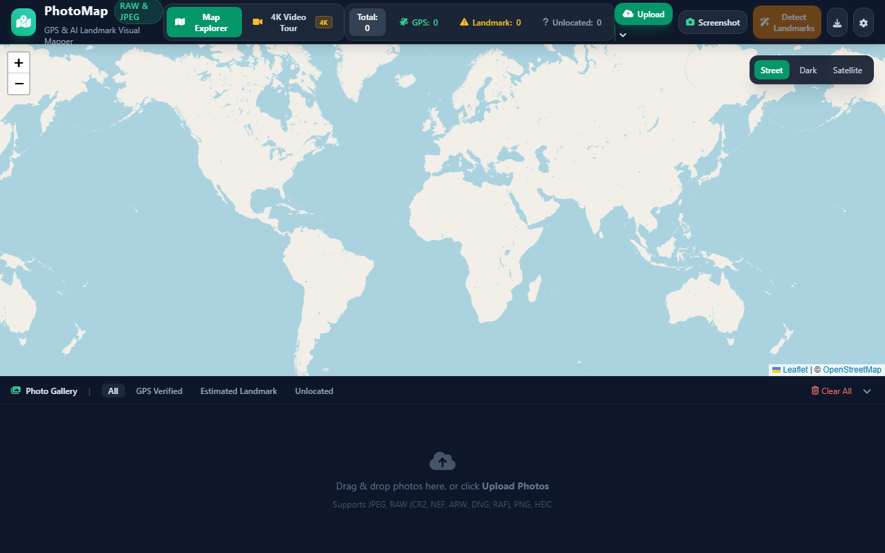
A modern web application to map your photos (JPEG, PNG, HEIC, TIFF, and camera RAW files) on an interactive map, take high-resolution map snapshots, and create cinematic YouTube 4K travel flight videos.
🌐 Deployment & Access Options
Access the live cloud instance instantly or run your own copy locally on your PC.
🌐 Live Web App (Render)
Run directly in any browser with instant cloud hosting on Render. Zero installation required.
Open Web App ↗⚡ Windows Local Runner
Clone the repo and double-click run.bat for maximum local processing speed.
🐳 Docker / Spaces
Deploy free to Hugging Face Spaces or Render via the included Dockerfile configuration.
View Deploy Guide⭐ GitHub Repository
Access full source code, report issues, and view open development updates.
View on GitHub⚡ Features & Highlights
PhotoMap Explorer is an all-in-one desktop and cloud utility for travel and nature photographers:
- Universal Camera RAW & EXIF GPS: Drag and drop JPEG, PNG, HEIC, TIFF, or camera RAW files (Canon CR2/CR3, Nikon NEF, Sony ARW, Adobe DNG, Fuji RAF) to instantly parse GPS coordinates and place markers on the map.
- Zero-API Landmark Search: Automatically detects places from filenames or search worldwide landmarks and cities using free OpenStreetMap Nominatim with zero API key configuration.
- Map Snapshots & 4K Flight Tours: Export high-resolution map screenshots with custom title banners, or render broadcast-quality YouTube 4K (3840x2160) MP4 fly-through travel videos.
- Local & Cloud Execution: Use the hosted web app on Render or run completely offline with
run.baton your Windows PC.